


Follow remote vehicle journeys from one platform.
Satellite vehicle tracking for energy maintenance crews. AtlasNXT by Track24 brings vehicle location and available telematics data into one view, helping your team follow remote journeys and contact drivers when a report needs attention.
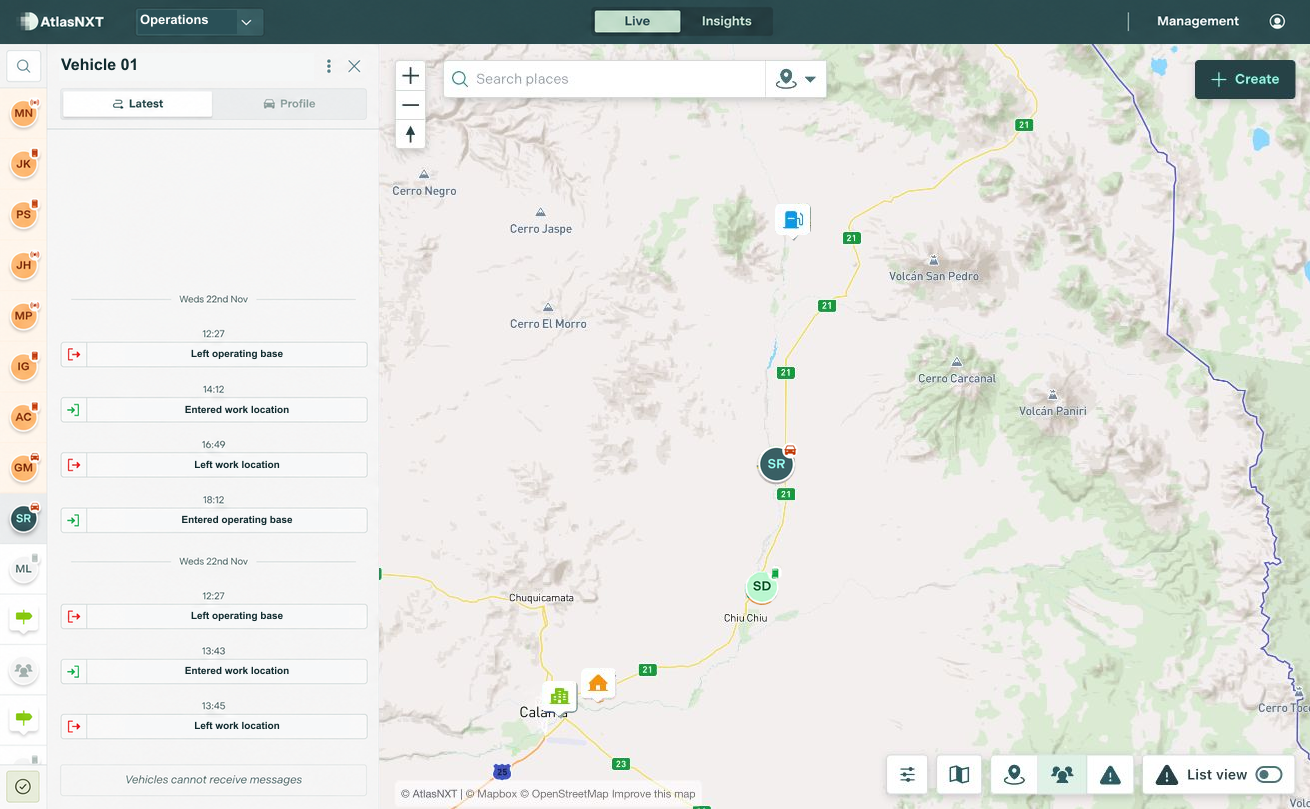
Example scenario
A vehicle supporting a maintenance visit to a remote energy site near Calama, Chile has not supplied its expected report on a route where mobile coverage is unreliable. The control room operator checks the last position, its timestamp, and the equipment information available, then attempts driver contact. The maintenance supervisor helps confirm the circumstances before any change to the support arrangements.


Vehicle Satellite Tracking for energy teams


Can every vehicle provide the same information?
Available tracking and telematics depend on the installed equipment, service, and integration. Confirm the data required for your use case before deployment.
Which satellite devices are compatible?
AtlasNXT is compatible with over 3,000 satellite devices. Request the compatible devices list to check your equipment and the functions available through its integration.
See Vehicle Satellite Tracking in action
Book a demo for energy maintenance crews. Explore how Vehicle Satellite Tracking fits your sites, contact arrangements, and response procedures.