


Real time safety & security for Energy Operations
At AtlasNXT we've supported Global Energy and Extractive operators for over 20 years, delivering privacy first tracking, incident response, and mass notification tools that protect field engineers, site crews, and offshore teams in some of the world’s most challenging environments.
.png)
Satellite Connectivity for Energy Operations
In remote or high risk operational sites, traditional communication fails, phone signal is unreliable, and teams operate far from regular infrastructure. AtlasNXT delivers resilient satellite tracking & communication tools that keep large, distributed workforces visible and connected at all times. From drilling crews to pipeline engineers, we ensure every person can be located, supported, and protected no matter how remote.
.svg)
AI enabled so operators can automatically create dynamic geofences, triggering alerts the moment people leave or enter areas of risk.
Our Mass Notification system sends alerts instantly across SMS, Push, Satellite, Voice and Email, ensuring that the right people get the right message at the right time, every time. Reach Detection tells you what proportion of your organisation is covered, further supporting you in quantifying risk.
Report and Respond to Incidents, track activity, share updates & ensure compliance to SOPs.
Make your location data useful with live risk feeds, weather events, and security intelligence so operators have a clear, unified picture of what’s happening right now where your people are.
AtlasNXT gives extractive operators real time visibility across remote, high risk environments unifying satellite tracking, intelligence, and communication so that you can safeguard your workforce and keep operations moving.
Oil, gas, mining, and energy organisations operate in some of the world’s most challenging environments including deserts, offshore rigs, conflict adjacent regions, and areas with no cellular coverage. Traditional safety systems fail when the signal drops, leaving supervisors oblivious to crew locations, shift movements and emerging threats. With thousands of contractors rotating through sites and a constant pressure to maintain operational continuity, organisations need reliable, always-on visibility that doesn’t depend on fixed networks.
AtlasNXT solves this by delivering satellite backed tracking, real time intelligence, and mass communication in one platform. Whether staff are underground, offshore, or in remote exploration zones AtlasNXT maintains continuous location awareness and incident response capability. A single operator on a laptop or our mobile app can oversee entire sites, coordinate crews, issue alerts, and protect disparate workforces even when conventional communication has failed.


.avif)
Situational Awareness
Manage Operational Accountability
.png)


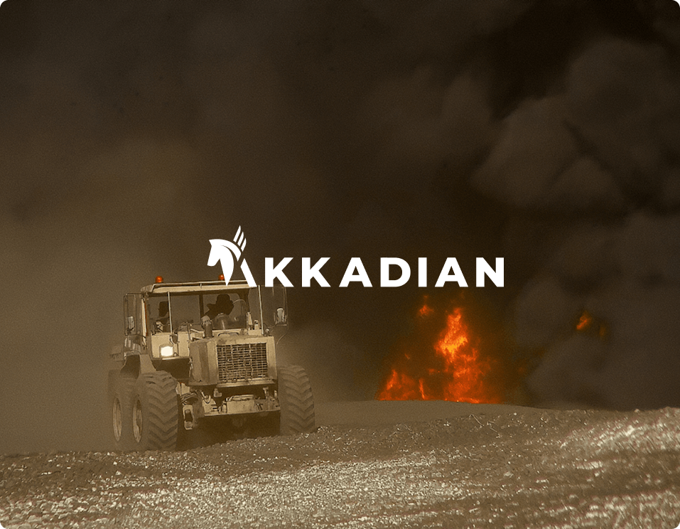
Akkadian International – Keeping people safe with AtlasNXT
Akkadian International works in some of the world’s most dangerous environments, where safety decisions can’t wait. By using AtlasNXT as their core duty-of-care platform, they gained real-time visibility, secure communication, and live threat intelligence in a single system. During a missile attack in Kyiv, the platform helped their security team quickly identify affected areas, check on staff, and trigger evacuation plans within minutes, proving how critical real-time data is when lives are on the line.
