We have supported governments, diplomatic missions, and international organisations operating in some of the world's most challenging environments for decades. AtlasNXT brings together real-time location intelligence, secure communications, and incident management in one platform.
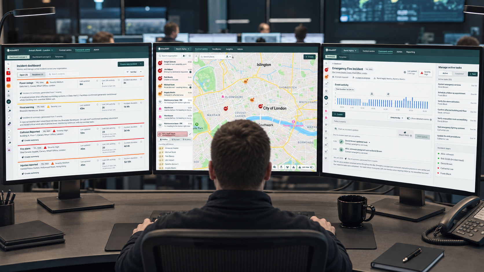
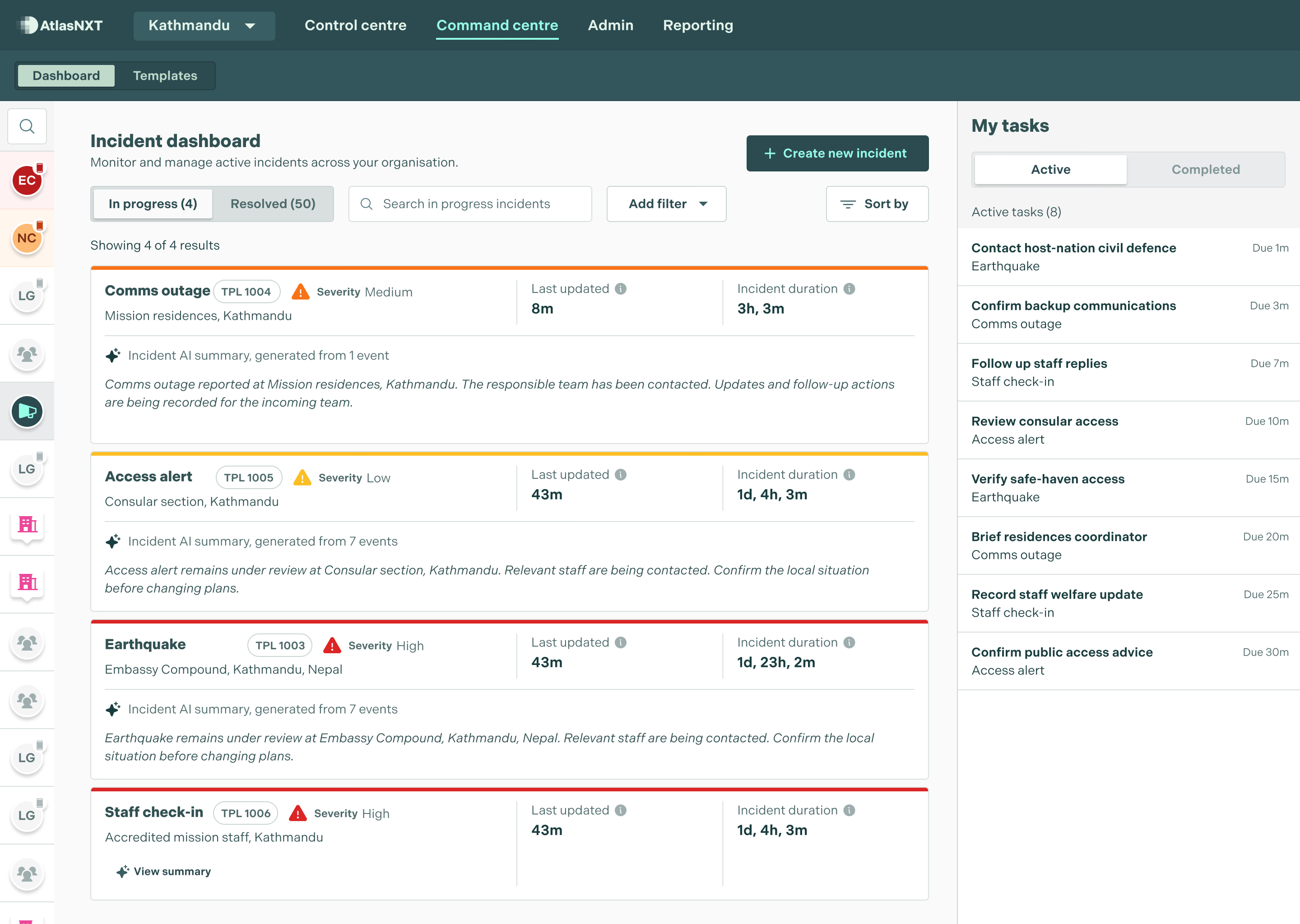
Give country teams, regional desks, and the Ministry the same operational picture. Capture incidents as they are reported, reach affected people quickly, and keep a clear record of decisions/actions.

Set geofences around embassies, residences, and mission sites. Receive alerts when people enter or leave an area.

Send SMS, push notifications, satellite messages, voice calls, and email from one console. ReachScore™ shows how many people you can reach, so teams can address gaps before an incident.

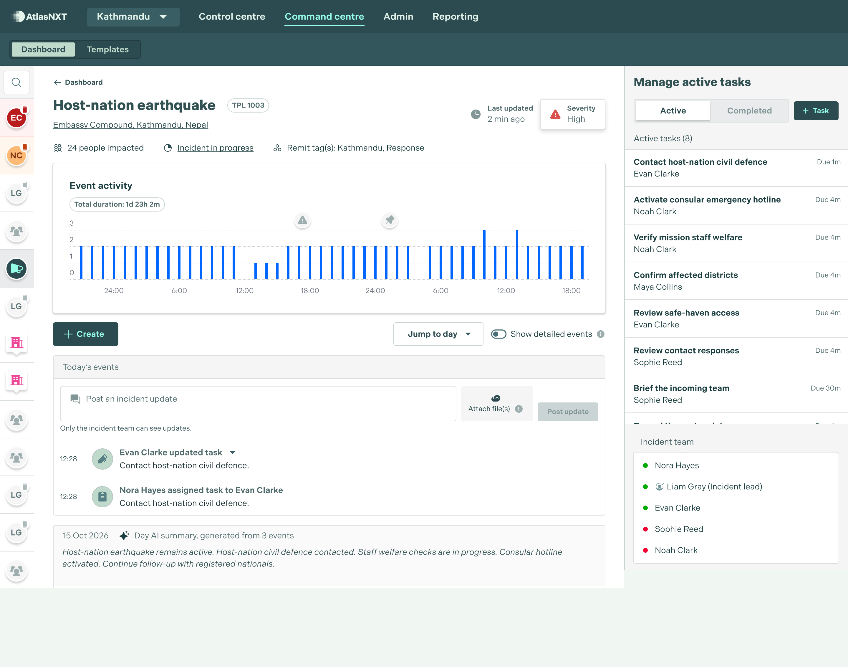
Capture the first report, assign actions, and keep a clear record through to closure.

See global risk feeds, weather, and travel disruption alongside mission locations and travelling staff.
Diplomatic missions and government agencies operate under exceptional scrutiny. Decisions made under pressure are examined afterwards. Gaps in communication are questioned by ministers, families, and the press. Yet many missions still rely on email chains, spreadsheets, and consumer tools. When a crisis hits, teams can lose valuable time establishing what has happened, who is affected, and what has already been done, before they can even brief a minister.
AtlasNXT provides a single operational picture. Missions can see the live or last known location of accredited personnel and dependants, capture incidents from the first report, and send mass notifications to individuals, groups, or everyone in an affected area. Urgent alerts can override 'Do Not Disturb' and silent settings, helping critical messages get through.
The same platform protects diplomats and staff through smart geofencing, panic buttons, and satellite backup when normal communications fail. Every action is recorded as it happens, creating a clear audit trail without adding to the operator's workload. Ministers, senior officials, and oversight committees can be briefed quickly and accurately, without teams first having to reconstruct the incident.
AtlasNXT is already used by diplomatic missions across more than 50 territories to protect their people and keep citizens abroad informed. Missions can see, in real time, how many people they can reach and where gaps in coverage remain.
AtlasNXT brings these capabilities together in one operational platform. A single operator can protect people across multiple countries from any laptop. The Mobile Operator App extends that capability away from the desk, allowing operators to monitor, locate, and alert people wherever they are.
The result is simple: a clearer picture, faster action, and an accurate record of every decision.


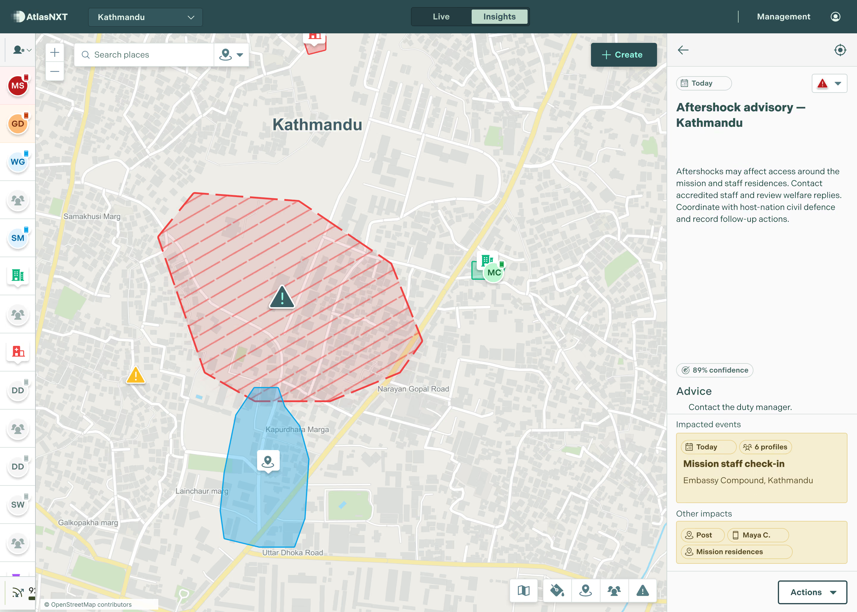
View the live or last known location of accredited personnel and dependants alongside global risk feeds. Use check-ins to confirm their welfare and location-based alerts to reach people in an affected area.


Give country teams, regional desks, and your colleagues in your home country visibility that matches their responsibilities. Bring external alerts into the same incident workflow.