


Follow remote vehicle journeys from one platform.
Satellite vehicle tracking for diplomatic staff. AtlasNXT by Track24 brings vehicle location and available telematics data into one view, helping your team follow remote journeys and contact drivers when a report needs attention.
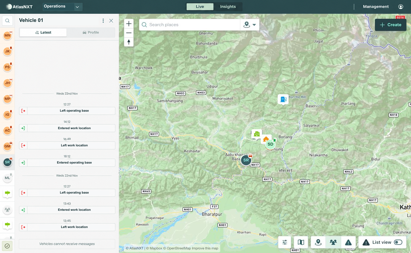
Example scenario
A vehicle supporting a consular outreach visit to a remote community near Gorkha, Nepal, has not supplied its expected report on a route where mobile coverage is unreliable. The mission duty officer checks the last position, its timestamp, and the equipment information available, then attempts driver contact. The mission security officer shares local updates through the same platform, keeping driver contact and support arrangements visible to the duty team.


Vehicle Satellite Tracking for Diplomatic Missions


How can a mission follow up a vehicle supporting remote outreach?
Supported position and activity reports give the duty officer a reference for driver contact. Confirmed delays and local support arrangements can stay available to the next mission duty colleague.
Which satellite devices are compatible?
AtlasNXT is compatible with over 3,000 satellite devices. Request the compatible devices list to check your equipment and the functions available through its integration.
See Vehicle Satellite Tracking in action
Book a demo to see how AtlasNXT supports diplomatic staff. Explore how Vehicle Satellite Tracking fits your sites, contact arrangements, and response procedures.