


Monitor entry and exit around humanitarian bases and programme locations.
Geofencing software for humanitarian aid workers. AtlasNXT by Track24 helps operators define areas around sites, work locations, or concerns, and use configured entry and exit alerts to focus follow-up.
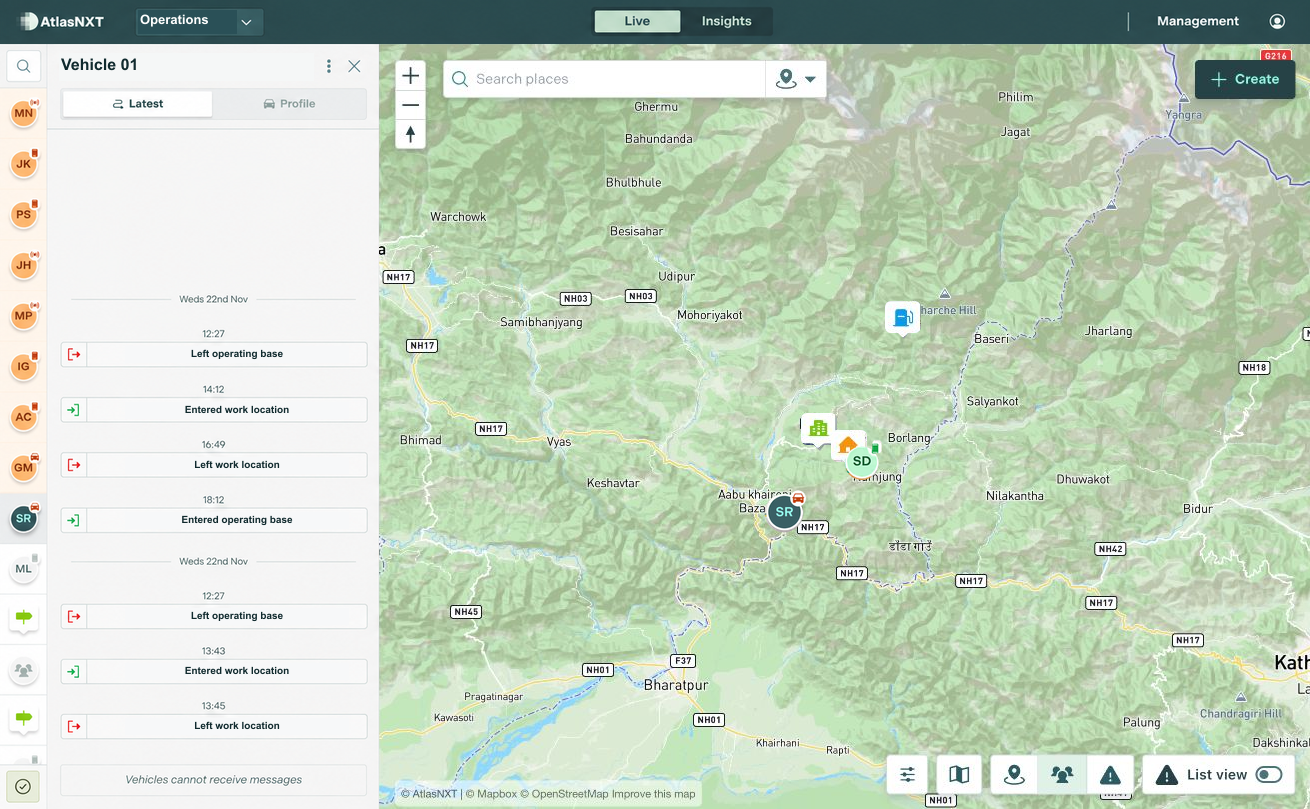
Example scenario
A vehicle's shared position reports an exit from the operating base near Gorkha, Nepal, and a subsequent arrival at the agreed work location. The security focal point checks the reporting times and contacts the driver if a movement differs from the expected arrangements. The field coordinator shares local updates in the conversation, giving the duty team a common record of the journey.


Smart Geofencing for Humanitarian Operations


Can geofences reflect changing temporary bases and assessment areas?
Define the current monitored areas and configure entry and exit alerts. Reporting times help the coordinator identify a movement to check with the individual or driver concerned.
See Smart Geofencing in action
Book a demo to see how AtlasNXT supports humanitarian aid workers. Explore how Smart Geofencing fits your sites, contact arrangements, and response procedures.