
Real-Time Tracking for Infrastructure


Real-Time Tracking for Infrastructure
See where infrastructure project teams last reported.
Real-time location tracking for infrastructure project teams. AtlasNXT by Track24 shows shared staff locations and positions from compatible devices on one map, with a timestamp for each update.
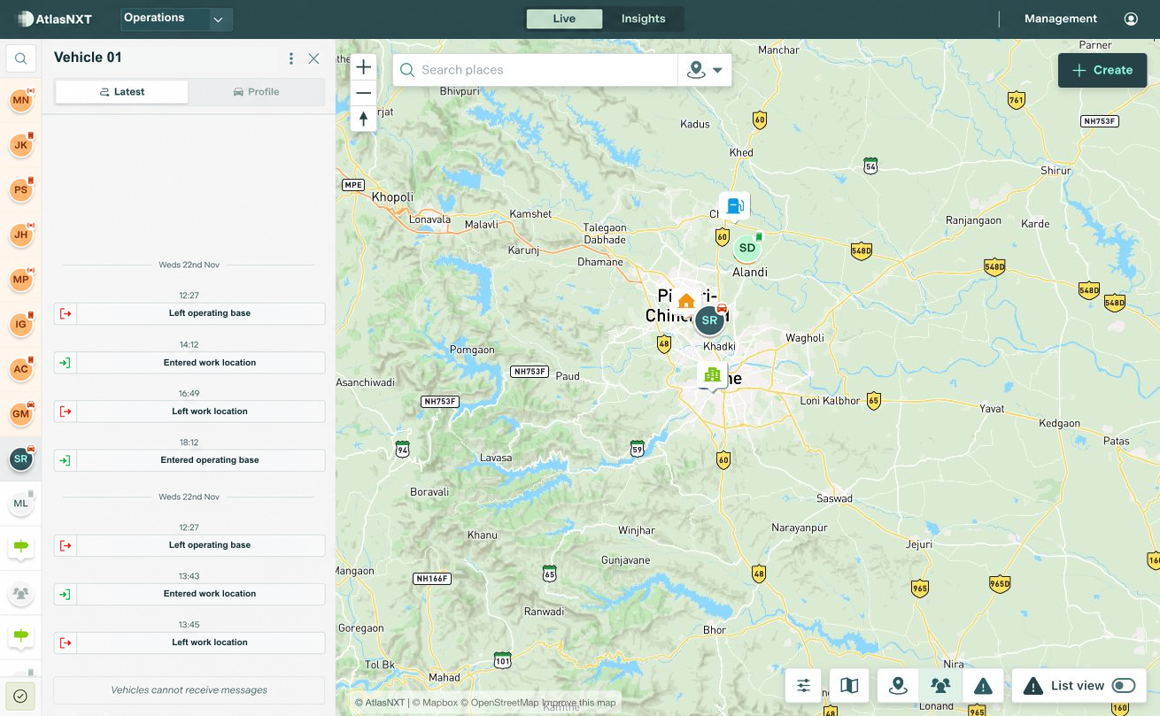
Example scenario
Example scenario
Example scenario
A vehicle travelling between a project site and another work location in Pune, India is later than expected. The project duty team reviews the last reported position and timestamp, then contacts the driver. A confirmed access delay explains the change. The site supervisor updates the onward arrangements, and the incoming duty colleague can see what has been confirmed.


Real-Time Tracking for infrastructure teams

Check when the location was last updated
Review current or last known locations, available location history, and relevant geofences. Check the timestamp before using a position to follow up on a delay or welfare concern. If a device stops reporting, the map may still show its earlier location.

For Infrastructure
Road, rail, and other infrastructure projects can spread teams across long routes, temporary sites, and remote access roads. Review an individual's or compatible vehicle's last reported location and timestamp. The project manager can contact the person or driver to check a delay, then share confirmed updates with the site supervisor.

Combine location updates with direct contact
Agree who shares location, when it is needed, and which operators can view it. Combine the map with direct updates and local information before deciding what to do next. The same picture can support a handover when one operator takes over monitoring from another.
See Real-Time Tracking in action
Book a demo for infrastructure project teams. Explore how Real-Time Tracking fits your sites, contact arrangements, and response procedures.