


Wind-energy operators have become highly effective at monitoring turbines spread across large and often remote areas. Supervisory Control and Data Acquisition, commonly abbreviated to SCADA, provides the operational data needed to understand generation, equipment condition, and technical faults.
However, knowing what is happening to a turbine is not the same as knowing whether the people travelling to it are safe.
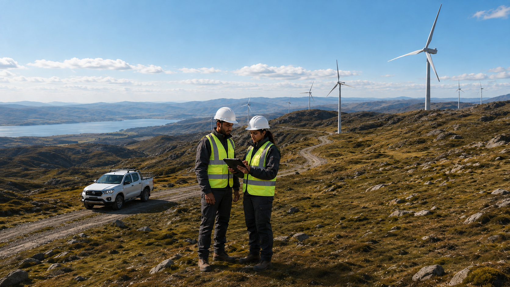
Engineers, security teams, drivers, contractors, and specialist personnel may travel considerable distances between wind sites. The terrain can be difficult, mobile coverage can be unreliable, and immediate assistance may not always be available.
A turbine may remain visible to the control room while the team sent to inspect it does not.
Where does SCADA stop?
Supervisory Control and Data Acquisition is essential to modern wind operations. It allows operators to monitor and control equipment, identify changes in performance, and respond to technical problems.
The US Department of Energy describes SCADA as a computer system that monitors and controls a process. Its description of wind operational technology includes turbine-monitoring equipment, protection systems, controllers, sensors, and other equipment involved in operating a wind plant.1
These systems provide essential visibility of the infrastructure. They are not generally intended to answer a different set of operational questions:
• Has the field team reached the site safely?
• Has a vehicle deviated from its expected route?
• Are personnel approaching an area affected by a developing incident?
• Has somebody missed a scheduled check-in?
• Can an employee request assistance when cellular coverage is unavailable?
• Who has received an alert, and what action has been taken?
These are questions about people, vehicles, journeys, communications, and response. Answering them requires a view beyond the turbine itself.
Why are remote wind operations difficult to protect?
Wind operations frequently depend on people moving between dispersed sites. A journey may begin on a main road with good communications and end on an isolated track where conditions are very different.
The risks do not sit neatly within separate systems. A delayed vehicle may indicate a mechanical problem, a difficult route, or a concern affecting its occupants. A security incident can alter whether a site is safe to enter. Severe weather, access restrictions, local disruption, or another emerging hazard may require teams to change their plans quickly.
An apparently routine maintenance visit can therefore become more serious when the team cannot communicate or the monitoring function does not know where they are.
Health and Safety Executive guidance notes that people working alone face greater risks because they may not have anyone immediately available to help when something goes wrong. It recommends suitable training, supervision, monitoring, and support.2
For remote operations, communication must form part of the response process. It is not enough to provide a way to raise an alert if nobody knows who should receive it, what information they will see, or what should happen next.
How can the AtlasNXT app support field personnel?
For most employees, the AtlasNXT app provides the most practical way to stay connected.
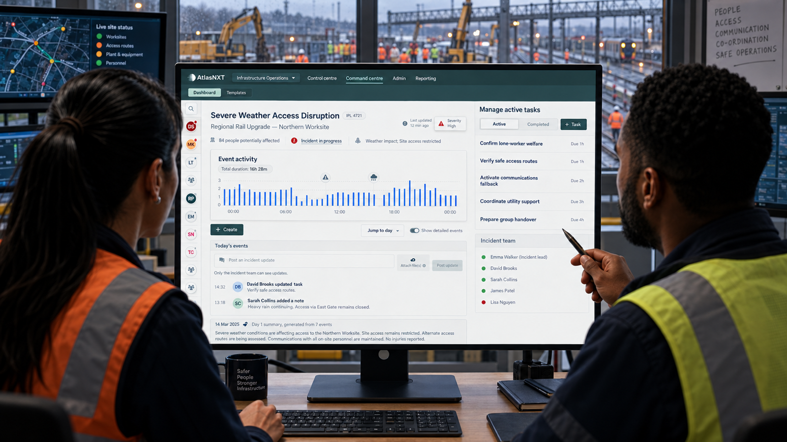
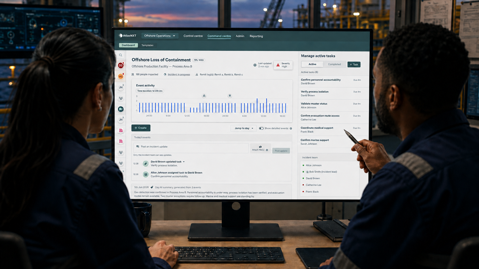
Using a familiar smartphone, personnel can share their location when appropriate, complete check-ins, receive relevant alerts, and request assistance. Monitoring teams can use that information to understand who may be affected by an incident and whether somebody requires support.
The app also avoids introducing unnecessary complexity. Employees do not need to carry a separate device for every routine journey when their smartphone and cellular coverage are sufficient.
Mobile coverage, however, cannot be assumed throughout every remote operation. A journey may pass through areas with intermittent service or continue beyond the cellular network altogether.
A resilient communications plan should account for those transitions. The AtlasNXT app can support personnel where mobile data is available, while compatible satellite or dual-mode devices can maintain the connection in areas without dependable cellular coverage.
The communication method may change, but the monitoring team should retain a consistent picture of the journey.
How should vehicles fit into that picture?
Vehicles connect people with remote infrastructure. They carry technicians, specialist equipment, and other personnel through environments where journey delays, unauthorised movement, poor driving behaviour, or mechanical problems may have safety and operational consequences.
Track24 IVMS is Track24’s in-vehicle monitoring product. It helps organisations monitor vehicles and journeys, understand driving behaviour, identify safety concerns, and maintain visibility of fleet activity.
AtlasNXT complements that vehicle information by supporting the people making those journeys and the teams responsible for responding when something changes.
Information from the AtlasNXT app, compatible satellite devices, relevant incident feeds, and Track24 IVMS can contribute to a joined-up operational picture. This allows a monitoring team to consider the vehicle, its occupants, its destination, and any risks developing around it.
That context becomes important when an event crosses operational boundaries. A vehicle stopping unexpectedly might require a fleet response, a personnel welfare check, or both. An incident near a work site might affect the employees approaching it as well as the vehicles already there.
Seeing those relationships helps the organisation decide what the situation requires.
Can location sharing work without undermining trust?
Employees may have understandable concerns about location tracking, particularly when its purpose, limits, and visibility have not been explained.
Monitoring does not have to mean following every employee continuously. A more proportionate approach can link location sharing to a particular journey, assignment, site visit, or period of increased risk.
Employees should understand:
• When location information is collected
• Why the organisation needs it
• Who can see it
• How it will be used
• What happens when an alert is raised
• When the monitoring period ends
This is not merely a privacy consideration. It directly affects whether people are willing to use the system consistently.
ISO guidance on occupational health and safety emphasises the value of consulting workers and involving them in the development, implementation, and improvement of safety arrangements.3 That involvement can help an organisation design a monitoring model that is both operationally useful and acceptable to the people it is intended to protect.
What does a joined-up approach look like?
A suitable approach will depend on the organisation, its workforce, and the risks associated with each location. Its capabilities might include:
• Personnel safety through the AtlasNXT smartphone app
• Satellite or dual-mode communication where cellular coverage is unavailable
• Scheduled welfare checks and missed-check-in alerts
• Requests for assistance
• Journey monitoring for personnel and vehicles
• Geofences around sites, routes, and areas of concern
• Warnings when an incident may affect a planned destination
• Vehicle and driver information from Track24 IVMS
• A shared record of alerts and response activity
• An auditable history for review, learning, and compliance
Technology cannot create an effective response by itself. HSE guidance states that monitoring systems must be understood by workers and supported by clear procedures and effective means of communication.4
The organisation must still decide who monitors alerts, how concerns are assessed, when an incident is escalated, and what responders should do when outside assistance cannot arrive quickly.
How can the approach be introduced?
A distributed wind operation does not need to change every site, vehicle, and working practice at once.
A pilot can begin with a representative group of personnel, vehicles, journeys, and locations. It should include ordinary working conditions as well as routes where mobile coverage becomes unreliable.
This allows the organisation to test practical questions:
• Do alerts reach the correct people?
• Can personnel use the AtlasNXT app easily?
• Is the transition to satellite communication effective where required?
• Are location-sharing arrangements understood and accepted?
• Do geofences and escalation rules reflect local operating conditions?
• Can monitoring teams distinguish a genuine concern from routine movement?
• Does Track24 IVMS provide the vehicle information needed?
• Do the combined systems improve the organisation’s ability to respond?
The answers can inform the next phase, including training, device selection, vehicle coverage, integrations, response procedures, and the order in which additional sites are introduced.
From turbine visibility to operational visibility
SCADA gives wind-energy operators essential visibility of their generating assets. Track24 IVMS extends that visibility to vehicles and drivers, while the AtlasNXT app and wider platform support personnel safety, communications, incident awareness, and response.
Together, these capabilities can help an organisation understand the complete operating environment: the turbine, the person, the vehicle, the journey, the destination, the available communications, and the risks developing around them.
Book a Complimentary Consultation to see how personnel safety, vehicle visibility, satellite communication, and incident response can support remote wind operations.
References
1. US Department of Energy, Operational Technology Cybersecurity for Energy Systems
2. Health and Safety Executive, Lone working: Protect those working alone
3. International Organization for Standardization, Our world with ISO 45001
4. Health and Safety Executive, Protecting lone workers: How to control the risks of working alone